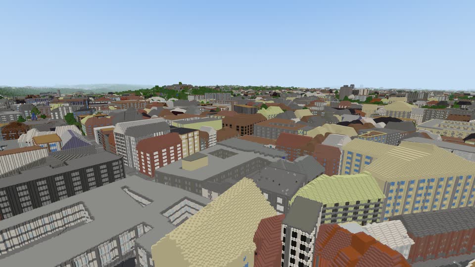
The real city
Streets, buildings, trees, parks and rivers are where they are in Brno, as far as you can see. Roads have their real width, and street lamps stand along them.
Walk, ride and fly through Brno and the land around it, and fly over all of Czechia, rebuilt in blocks from open map data. It runs in your browser, on a computer or a phone.
No download. You play by invitation: sign in with Google or a code sent to your e-mail.
Everything below is in the game now. The keys are for a computer; on a phone the same things have buttons.
Streets, buildings, trees, parks and rivers are where they are in Brno, as far as you can see. Roads have their real width, and street lamps stand along them.
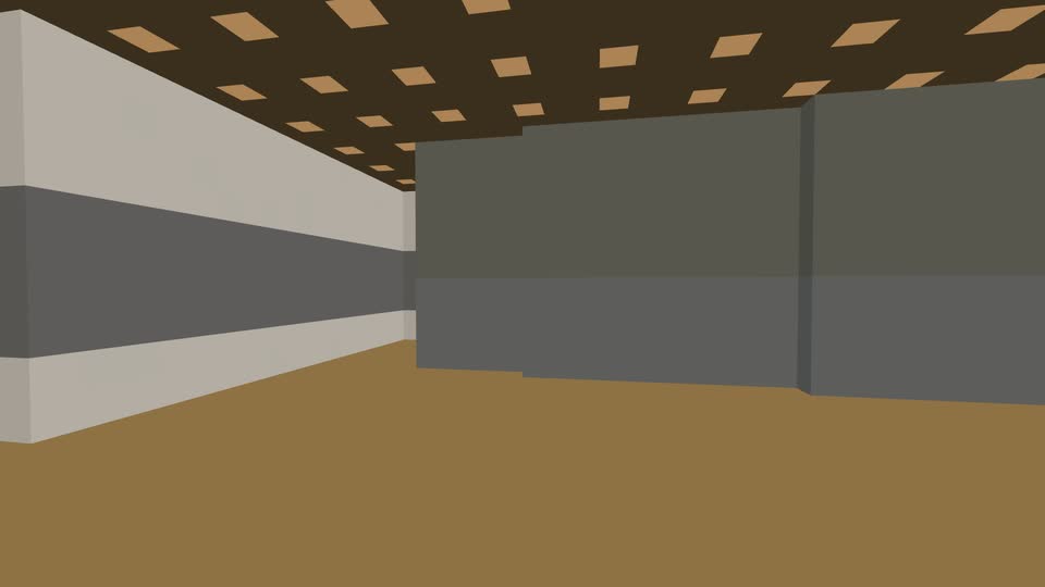
Walk, run with Shift, jump with Space, or fly by pressing Space twice. Open doors with F or a right click and walk into buildings. You can break and place blocks; what you build stays in your browser for now.
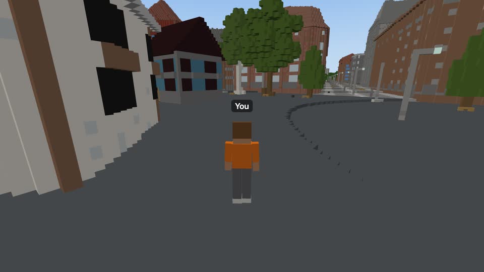
A blocky body 2 m tall with your name over it. Switch between first and third person with F5.
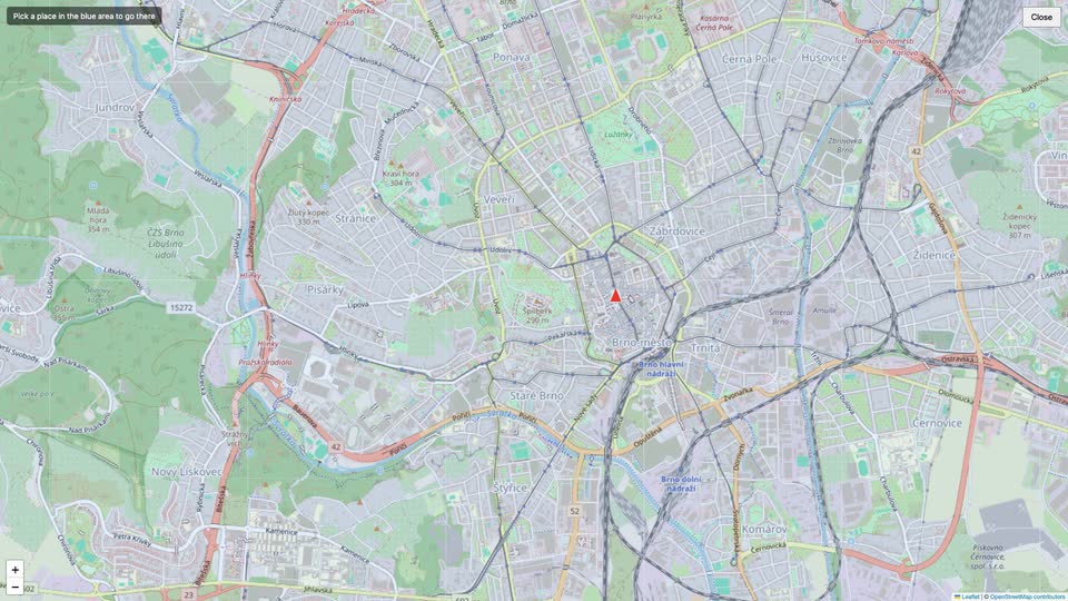
Press M, or open Map in the menu (Esc), to see where you are and what has been built. Click a place to go there. The link always holds your position, so you can send someone a place.
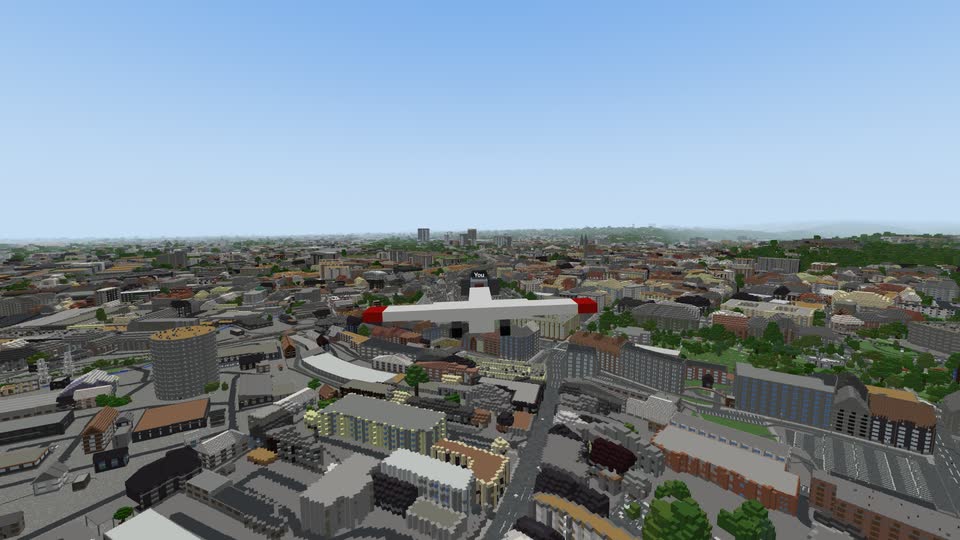
Press P for a plane. Take off from a road or the airport, fly over the city and land again. In the air you see up to 20 km and can cross all of Czechia; the far land is drawn in less detail and fades into haze.
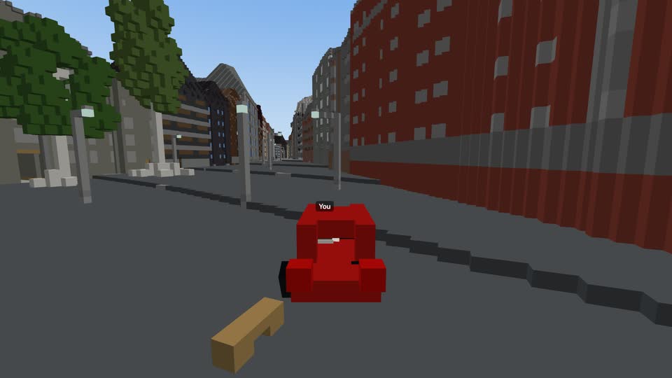
Press V for a car on the nearest road. It has suspension, steering and a handbrake; drive from behind it or from the driver's seat. Hold V to choose a bicycle, a kick scooter or a horse, and at water it calls a boat.
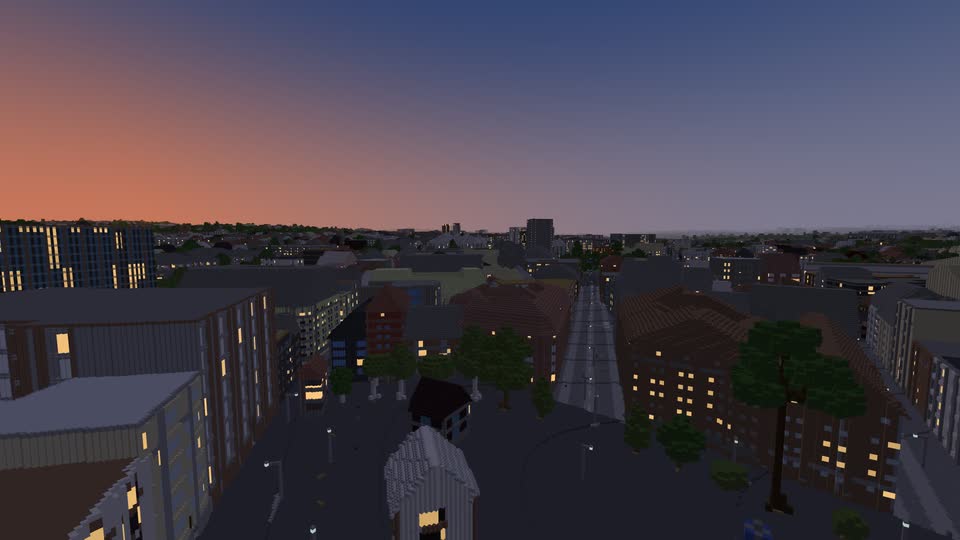
The sun stands where it stands now over Brno. Sunsets colour the sky, windows light up, lamps glow, and the stars and moon come out. In Settings you can pick the hour of the day, and L lights your torch or your headlights.
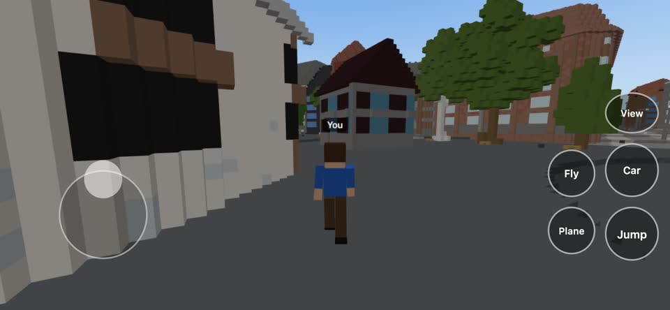
Open the same address on a phone or tablet. There is nothing to install.
Being worked on, roughly in this order. Nothing here is in the game yet.
See other players walk, ride and fly around you, and talk by voice with friends who are near or riding with you.
Today only you see what you build. Later everyone will see the same buildings, and they will be kept.
Towns and villages across the country down to streets, houses, gardens and railways, not only around Brno. And trains will run on the rails.
In detail the Brno region: a square of about 59 by 59 km around the city, marked on the world map. From a plane all of the Czech Republic, drawn more coarsely. More places in detail will follow.
Yes, it is free. You need an invitation from someone who already plays; you sign in with Google or with a code sent to your e-mail, and choose a nickname. Each player can invite ten others. A way to support the project with a donation is planned.
From open data: buildings, roads, trees and land use from OpenStreetMap and the Overture Maps Foundation, ground heights from open elevation models, and land cover from ESA WorldCover. The program Arnis turns that data into blocks. Mistakes in the map show up as mistakes in the world.
A recent browser with WebGL 2: Chrome, Edge, Firefox or Safari, on a computer, phone or tablet. A computer with a mouse and keyboard gives the most control.
Yes. The address in the game holds your position (and the time of day if you changed it). Copy it and send it; whoever opens it starts where you are.
It records what you click and use in MyWorld, so we can replay a visit and find what is confusing. If you sign in to play, it goes under your nickname, never your e-mail. Change your mind any time in the game's Settings.